Land subsidence in Iran; The silent earthquake under our feet
Iran is one of the first three countries in the world involved with the phenomenon of land subsidence. According to the Geological Survey
Nasrin Niknam - etemad
Iran is one of the first three countries in the world involved with the phenomenon of land subsidence. According to the Geological Survey, the subsidence rate in Tehran has reached 5 cm per year and its main reason is the unnecessary harvesting of groundwater up to 5 million cubic meters per year. This phenomenon not only the environment but also threatens the country's food, social and national security.
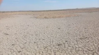
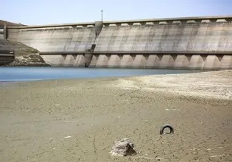
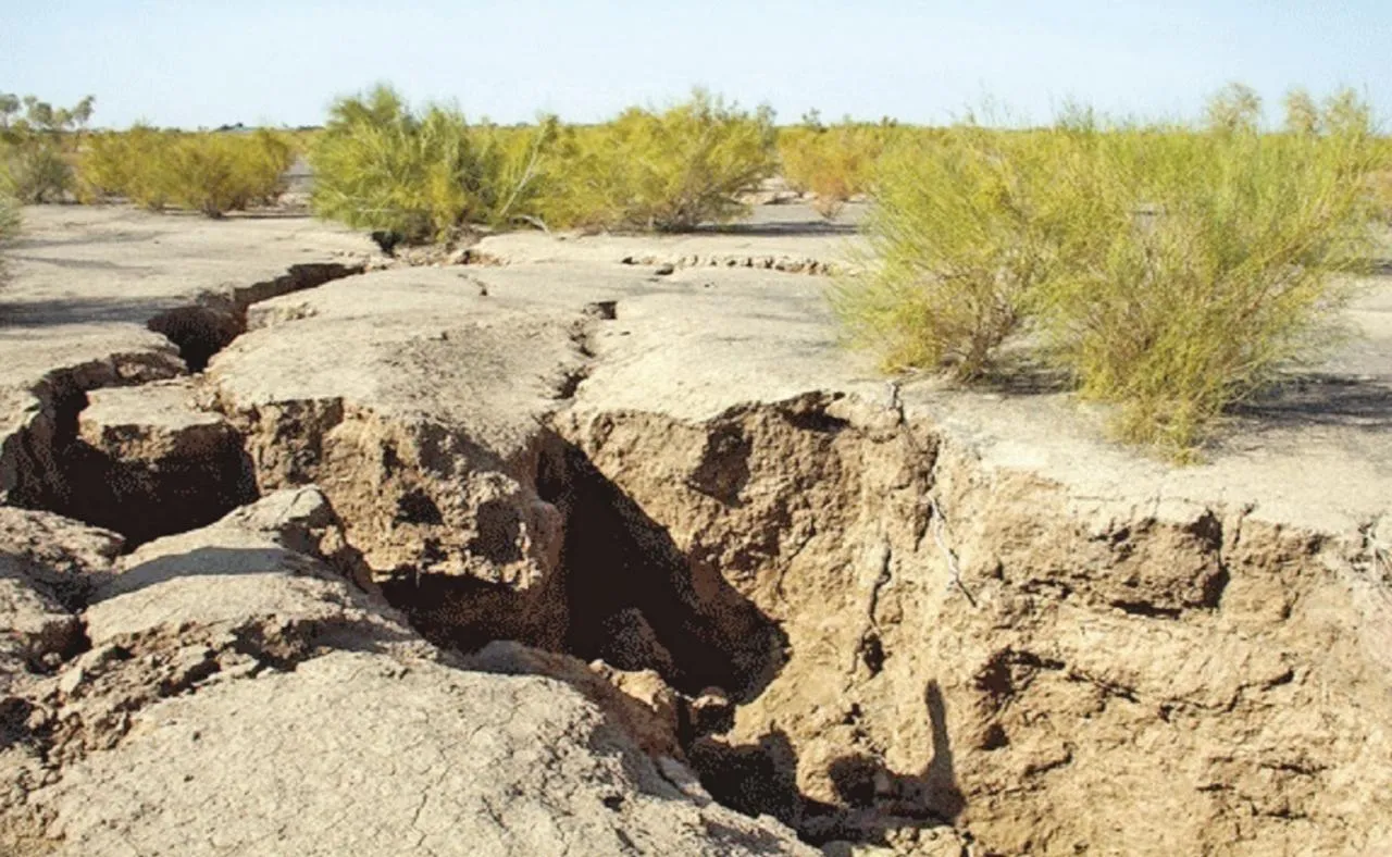
The subsidence is not just a environmental issue. The lands they have set up can no longer be used for agriculture, nor for residence, nor for vital infrastructure. Its effects include mandatory migration, unemployment, soil chemistry change and damage to infrastructure such as gas lines, airports and bridges.
ار Experts suggested to counter subsidence:
Managing water resources by controlling harvesting, increasing agricultural productivity and using recycled water
Construction control in high -risk areas with standardization of engineering principles
Injecting water into aquifers to strengthen the level of underground resources
Continuous land monitoring by the State Mapping Organization
Public awareness and public participation in preserving water resources
According to an article by Abbas Keshavarz and Hoda Kahrizi, more than 2 % of the Iranian plains (2 out of 2 plains) are in the "forbidden" or "forbidden critical" situation. The number of agricultural wells has increased from 5,000 to more than one million in five decades, about half of whom are unauthorized. This volume of operation has excluded 2 to 5 billion cubic meters.
Ali Beitollahi from the Road and Urban Development Research Center: Iran is ranked third in the global subsidence crisis, and this is directly due to the improper management of water resources and unstable agricultural development.
Sayed Sayyid Kandar Sidai, Head of Mapping Organization: About 5,000 square kilometers of the country's territory has been affected by subsidence; Equivalent to the area of five countries. The annual rate in some areas is up to 5 cm. The provinces of Tehran, Alborz, Qazvin, Khorasan Razavi, Kerman, Isfahan and Fars are the most dangerous.
Environmental Expert Mohammad Darvish:
Iranians have harvested more than 2 billion cubic meters over the past five years.
The Earth sat in a range of 4,000 square kilometers an average annual of 5 cm.
Big alluviums in Iran have a storage capacity of up to 5 billion cubic meters of groundwater, but have lost their storage structure by excessive discharge.
Darwish warns that even if feeding and harvesting is equal today, we have to wait 5,000 years to completely recover aquifers.
He says the lands with subsidence no longer have tolerate construction, road construction and infrastructure networks. But they can become energy farms by installing solar panels. With 2,000 square kilometers of these fields, Iran can become the world's largest solar exporter.
The subsidence in the Fasa plain has reached 2 cm a year, 2 times the critical limit. The result: leaving roads, breaking bridges, tilting power towers, and damage to vital infrastructure.